Welcome to another week of Wilderness Wednesday! Today, we’re talking about the Nez Perce-Clearwater National Forests.
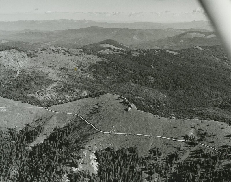
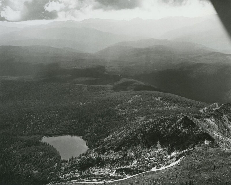
According to one source, Indigenous humans first began living in the area now known as the Nez Perce-Clearwater National Forests over 10,000 years ago.1 The area’s topography of “rolling and rugged mountains bounded by deep river canyons has provided the economic basis for generations of central Idaho inhabitants. From American Indian use over the millennia, the explorations of Lewis and Clark, fur trappers and traders in the early 1800s, gold seekers in the mid to late 19th century, early 20th century homesteaders, and the Forest Service - the Forest hosts thousands of known historical and archaeological sites.”2
This forest was originally referred to as the Clearwater National Forest by the US government, and it covered 1.8 million acres.3 However, this land originally belonged to the Nimiipuu nation (Nez Perce Tribe). “Therefore, to show respect to the Nez Perce Tribe, the name Nez Perce-Clearwater National Forests was chosen when the forests administratively combined in 2012.”4 The Nez-Perce Clearwater National Forests covers 4 million acres of land.5
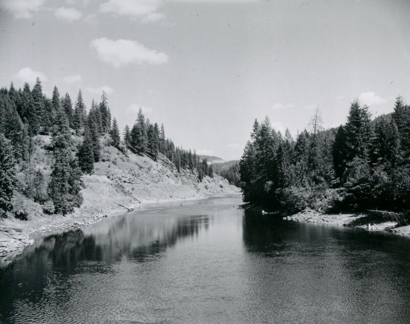
This forest features deep canyons that have “provided travel corridors across the mountains for centuries. These routes were used by the Nez Perce Indians and, in 1805-1806, the Lewis and Clark Expedition. Today the main travel route is U.S. Highway 12 following the dramatic canyon of the Middle Fork of the Clearwater River and its tributary the Lochsa River.”6
Stay tuned for next week’s edition of Wilderness Wednesday!


