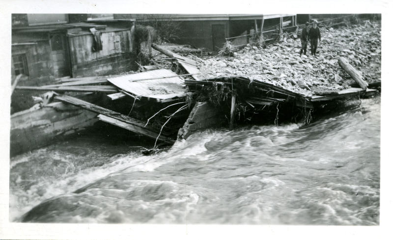
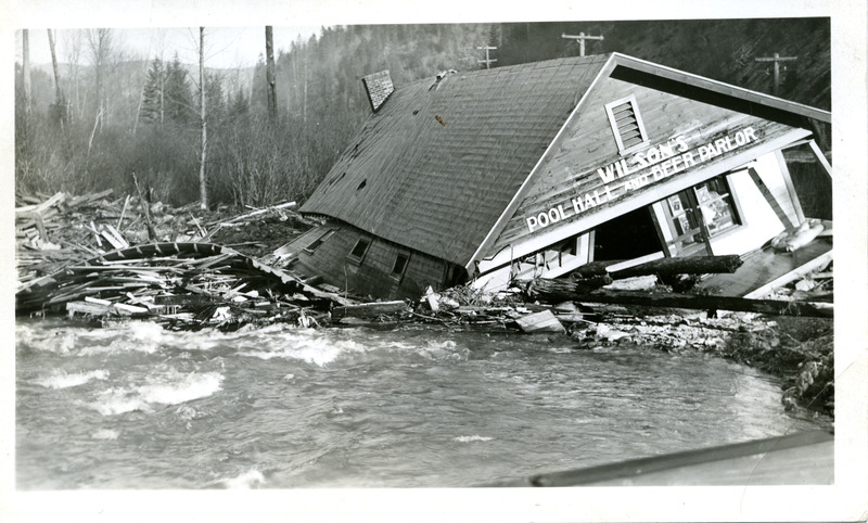
Those who lived along the Coeur d’Alene River in the late 1800s and early 1900s knew the area had a tendency for river overflow. However, no one expected what nature had in store between the years 1933 and 1935. In June of 1933, Shoshone County experienced three days of torrential downpour which rose water levels of the Coeur d’Alene River and it’s tributaries up and over their banks. Then on December 21, 1933, warmer weather sent into motion a thawing event, preceded by heavy rains.
The amount of water caused horrible flooding and dangerous landslides. Coeur d’Alene Lake reached it’s highest level of 2,139.5 feet above sea level. The South Fork of the Coeur d’Alene and Placer Creek exceeded their banks, submerging the eastern and western sections of Wallace, Idaho. On December 22, Nine Mile Creek overflowed, adding to the overwhelming damage of railways, roads, neighborhoods, and farms. The water finally receded a few days later, leaving in its wake almost one million dollars in property damage just in the city of Wallace. For all of Shoshone County, damages reached upwards of three and a half million dollars. In March of 1934, the area experienced more heavy rains, and more flooding.
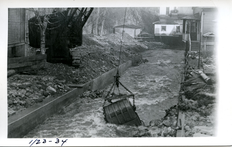
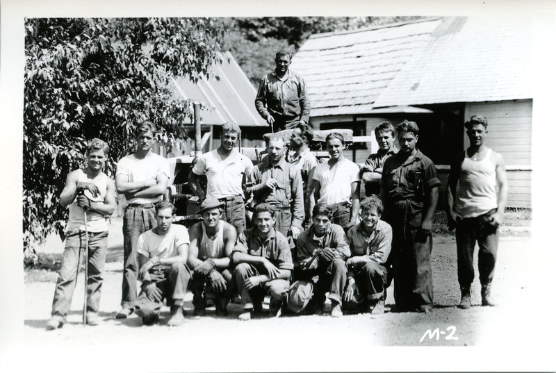
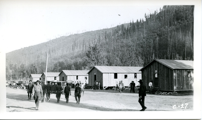
The Shoshone County Flood Control Project was directed by Harry W. Marsh after the December 1933 flood. Working with the Army Corps of Engineers, he supervised the construction of twenty-eight Civilian Conservation Corps camps to assist with the work. One camp, Camp F-30 was renamed Camp Harry Marsh in the summer of 1933.
To view this collection, contact the UI Library Special Collections and Archives.
Sources
Shoshone County Flood Control Project, MG 140, Special Collections and Archives, University of Idaho Library, Moscow, Idaho.


